How Indianapolis ZIP Code Polygons Are Grouped
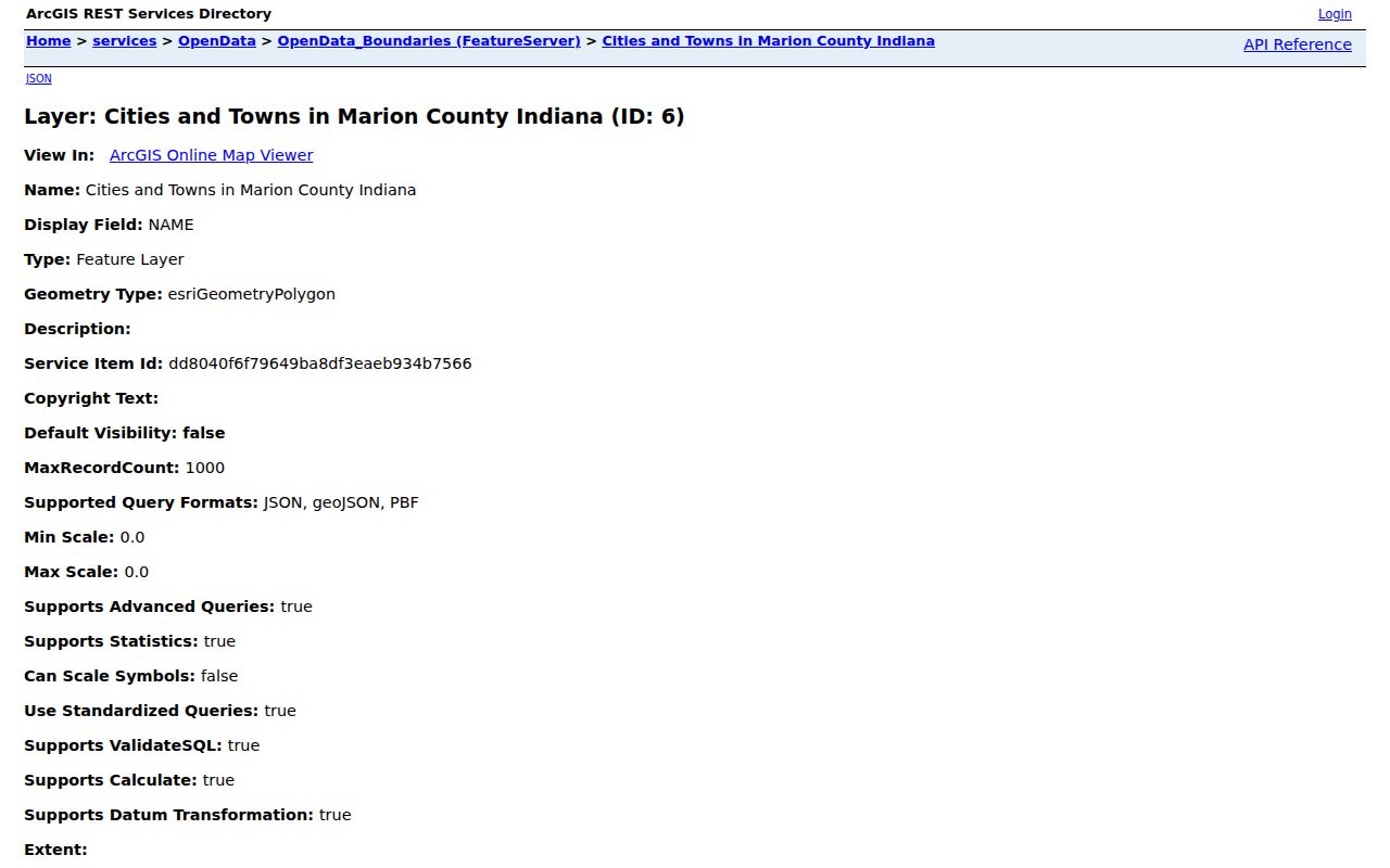
The official Indianapolis GIS service publishes ZIP polygons with a queryable Zipcode field. Its values provide a geographic coverage table, not a list of postal stations or proof of a USPS delivery city. Because the research did not capture a station for every ZIP, this Indianapolis ZIP code directory labels that column honestly and sends a precise address to USPS for the postal answer.
| ZIP Code | Areas Covered | Post Office | Notes |
|---|---|---|---|
| 46077, 46107, 46113, 46183 | Edge and overlap polygons in the local service | Verify by address with USPS | Do not assume an Indianapolis postal-city label |
| 46201 through 46208 | Central, east, north and south urban polygons | Verify by address with USPS | Neighborhood and postal names require separate checks |
| 46214 through 46226 | West, southeast, east and central polygons | Verify by address with USPS | Some polygons meet township or municipality boundaries |
| 46227 through 46241 | Outer and suburban-facing polygons | Verify by address with USPS | Compare city, town and excluded-city layers |
| 46250, 46254, 46256, 46259, 46260, 46268, 46278 | North, northeast and western-edge polygons | Verify by address with USPS | A polygon does not identify every valid street or unit |
Special, unique and post-office-box ZIPs may not appear as ordinary residential polygons. The table is therefore the exact grouping supported by the GIS query, not an invented complete postal list. The local ZIP layer, city/town layer and excluded-city layer should be compared before attaching a jurisdiction to an address.
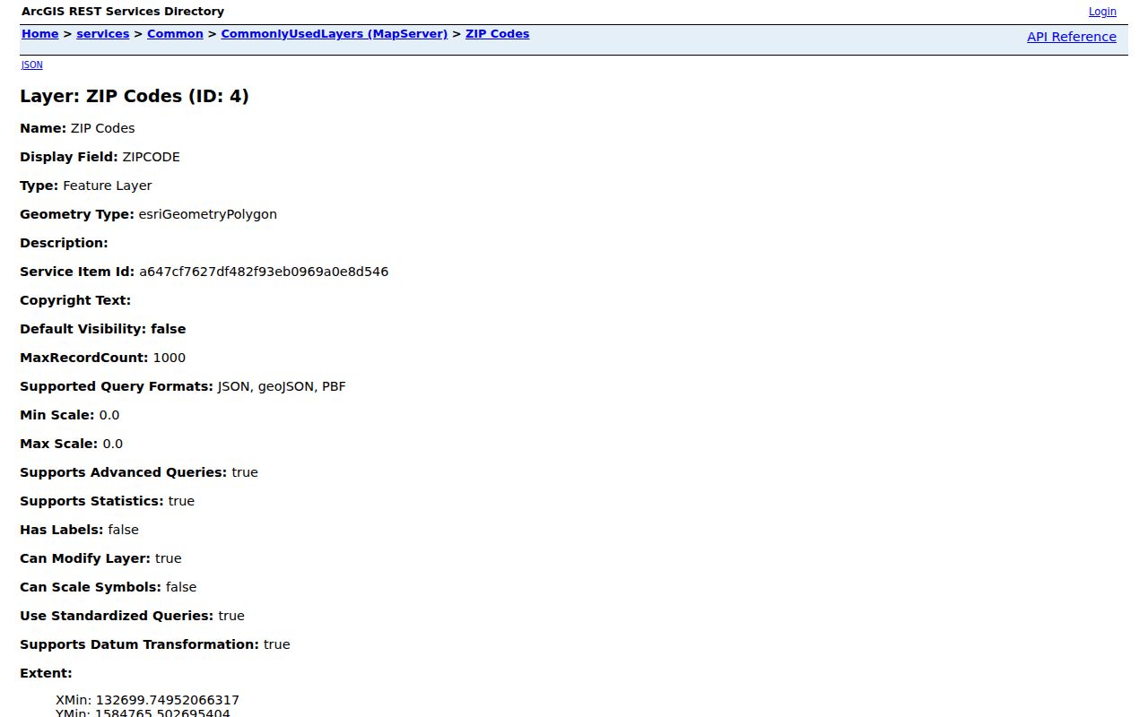
The official Indianapolis common ZIP layer exposes the polygon field and query functions.
USPS Fields for an Indianapolis ZIP Code Search
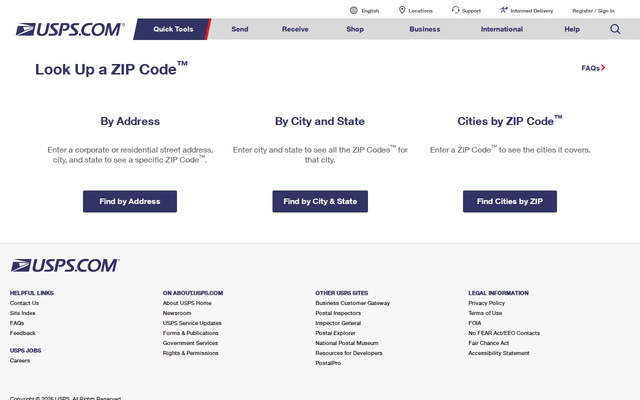
The USPS ZIP Code Lookup offers three distinct routes. By Address accepts company, street, unit, city, state and ZIP fields. By City and State returns ZIPs tied to that city and state. Cities by ZIP returns recommended or recognized city names for one ZIP. Choose the route that matches the clue instead of forcing a map value into a mailing label.
| USPS mode | Inputs | Use in Indianapolis research |
|---|---|---|
| By Address | Street, optional unit, city/state or ZIP | Validate the exact delivery line and preserve corrections |
| By City and State | Required city and state | Review the postal ZIP list for the entered city name |
| Cities by ZIP | ZIP | Check the recognized city names attached to that postal code |
The official USPS form is the authoritative starting point for a mailing-city and ZIP answer.
Narrow an Indianapolis Resident Search by ZIP Code
A ZIP is a coarse filter, so a responsible resident search narrows from postal and map geography to a precise official record. Not every portal offers a ZIP-wide person query. The assessor starts from an address or parcel, while PLA, INBiz and Indiana Unclaimed accept ZIP among other fields but produce license, entity or asset clues rather than a household roster.
- Enter the exact street and unit in USPS and save its recognized city, state, ZIP and any correction.
- Search the Marion County assessor by address, then save the parcel, situs, mailing and transfer fields.
- Open the local GIS ZIP polygon, neighborhood and city/town layers to label the geographic context.
- Choose the record tied to the question, such as a permit, license, entity filing, unclaimed asset, voter procedure or historical directory.
- Confirm a person with a second independent anchor, not a shared name and ZIP alone.
Once a broad area becomes a street, the Indianapolis street directory explains the address and parcel workflow. That shift matters because a ZIP-wide result can include unrelated people, organizations and jurisdictions.
What Indianapolis ZIP-Capable Portals Return
Several official systems display or accept a ZIP field, but each creates a different kind of evidence. Reading the source label is more important than merely seeing a matching number.
| Portal | ZIP or address use | Correct reading |
|---|---|---|
| Assessor Property Cards | Address autocomplete; situs or mailing ZIP | Parcel and assessment record, not current occupancy |
| MapIndy | ZIP polygon plus parcel and neighborhood layers | Mapped context that may differ from a USPS city line |
| Accela and code GIS | Address, city, state and ZIP case fields | Permit or enforcement record at an address |
| PLA verification | City, county and ZIP filters | Professional license context, not residence proof |
| INBiz | Entity and role searches with street, city and ZIP | Business filing association |
| Indiana Unclaimed | Name or business, city, ZIP and property ID | Possible state-held asset clue requiring proof |
Hard Edges in Indianapolis ZIP Geography
Indianapolis and Marion County share much of their government through the 1970 Unigov consolidation, yet Beech Grove, Lawrence, Speedway and Southport remain excluded municipalities. A parcel can sit in Marion County while its legal city, casual Indianapolis label and postal city differ. The city budget describes a broad 402-square-mile consolidated footprint, which helps explain why ZIP alone is too blunt for records work.
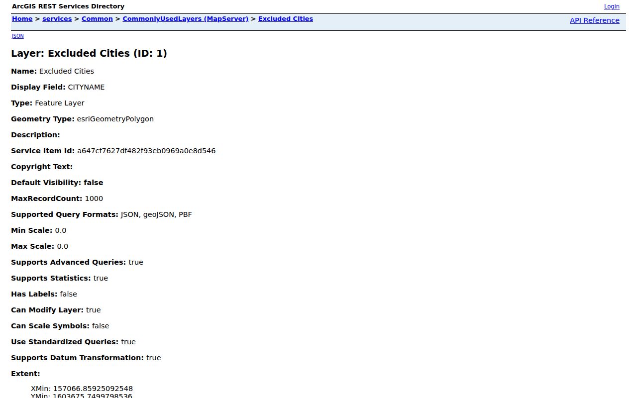
The excluded-city map layer supplies the local boundary needed for that comparison.
Indianapolis Neighborhoods Need Their Own Map
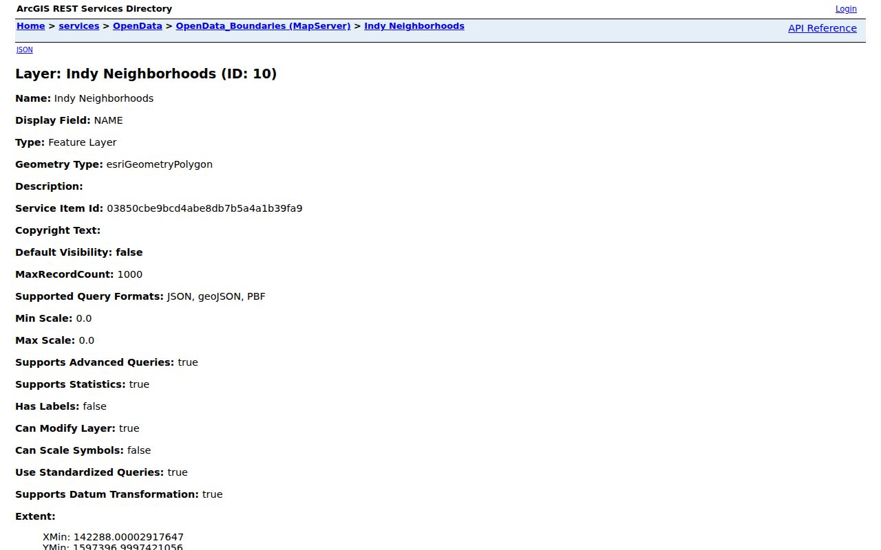
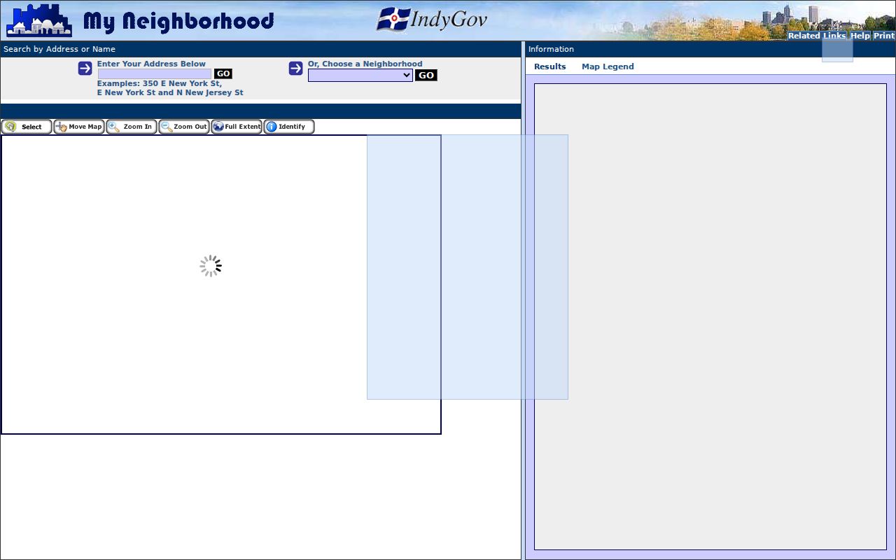
A ZIP can cover several neighborhoods, and a neighborhood can cross a postal line. The current city GIS neighborhood layer and My Neighborhood app add a mapped label and nearby resource context. Their labels should be cited as current GIS geography, not projected onto an old resident record without historical support.
The city provides a current neighborhood boundary layer for map comparison.
The official My Neighborhood application offers another current map-based route.
Do Not Carry a Modern Indianapolis ZIP Back in Time
Historical directories and maps predate modern ZIP codes, and Indianapolis street numbers changed in 1887, 1899 and 1916. Preserve the address exactly as printed, make a separate modern normalized form, and document the jurisdiction or ZIP interpretation. Use a directory street guide and Baist or Sanborn map to bridge an old number to a current parcel.
A current polygon cannot prove the postal label used in an earlier era. This is one place where an Indianapolis ZIP code directory must yield to the publication date, old street guide, map evidence and post-office context.
Indianapolis ZIP Code Boundaries Versus City Limits
Postal delivery, GIS polygons and municipal law solve different problems. USPS supplies the recognized mailing line. Indianapolis GIS supplies mapped ZIP, neighborhood, township and municipality layers. Legal city limits determine jurisdiction. When the three disagree, report each label and source instead of choosing the one that looks most familiar.
- ZIP vs ZIP+4
- A ZIP is the five-digit postal area; ZIP+4 adds a delivery segment for finer mail sorting.
- PO-box ZIP
- A postal code assigned chiefly to post-office boxes rather than an ordinary residential polygon.
- Unique ZIP
- A code assigned to one high-volume organization or institution, which may not map like a residential area.
- Carrier route
- A postal delivery path within a ZIP, not a city boundary or list of residents.
Boundary check. Never treat a matching ZIP as proof that a person lives inside Indianapolis city limits.
The official city and town boundary service is the final local map layer in the comparison.