
Sources Around an Indianapolis Block
An Indianapolis neighbor may mean the next parcel, a building or unit address, a registered organization boundary, or an address named in a public civic record. Those definitions are narrower and safer than a radius list of people. Map each source to the question it can answer. GIS establishes geography. The assessor identifies an owner of record. Permits and code files document public activity at an address. Community records identify an organization, not its private membership.
| Source | What It Shows About a Block | Access |
|---|---|---|
| MapIndy parcels and addresses | Adjoining parcels, frontage, unit points, neighborhood and boundary context | Free map, help page, and GIS services |
| Assessor Property Cards | Owner, separate mailing and situs fields, parcel class, transfer and assessment clues | Free address, owner, or parcel search |
| Accela and code GIS | Permit or enforcement case type, status, date, and record location | Public portal and open-data table |
| Registered community organizations | Organization name, boundary, status, website, meeting, and newsletter fields | City app, GIS layer, or Planning Division |
| Voter records | Registration and precinct fields in a requested public file, subject to exclusions | County procedure and VRG-24 rules, not a casual block search |
No inspected official source supplies a full and reliable current household list. A nearby owner's mailing address can be elsewhere. A unit point proves an address exists, not who uses it. A permit applicant may be a contractor, and a recorded party may be a lender or trustee. Precise labels prevent an Indianapolis block record from turning into a false personal profile.
Map Indianapolis Neighbors by Parcel
The MapIndy help page documents address and parcel search, layer control, click and selection tools, boundaries, historic basemaps, printing, and links to property cards. Treat the subject parcel as the center. Walk only to polygons that share a boundary or face the same short block. A street, alley, creek, park, or public tract may interrupt what looks like adjacency on a plain street list.
- Search the subject situs in MapIndy. Save its parcel number, street-facing address, ZIP, township, neighborhood, and legal boundary labels.
- Turn on parcel and building or unit-address layers. Identify each adjoining or directly street-facing polygon separately.
- Open each assessor card. Record owner, mailing address, situs, property class, transfer clue, and legal description as distinct fields.
- Check deed, plat, permit, and code records only when they answer a specific block question. Save the record date and case or instrument identifier.
- Query the community-organization layer for the same point. Use the organization boundary and public route, not a private officer's details.
This short flow owns the immediate block. For the full named-road chain, use the Indianapolis street directory and its broader address method. A parcel map should be dated because boundaries, lots, and layers can change.
Indianapolis Community Boundaries in GIS
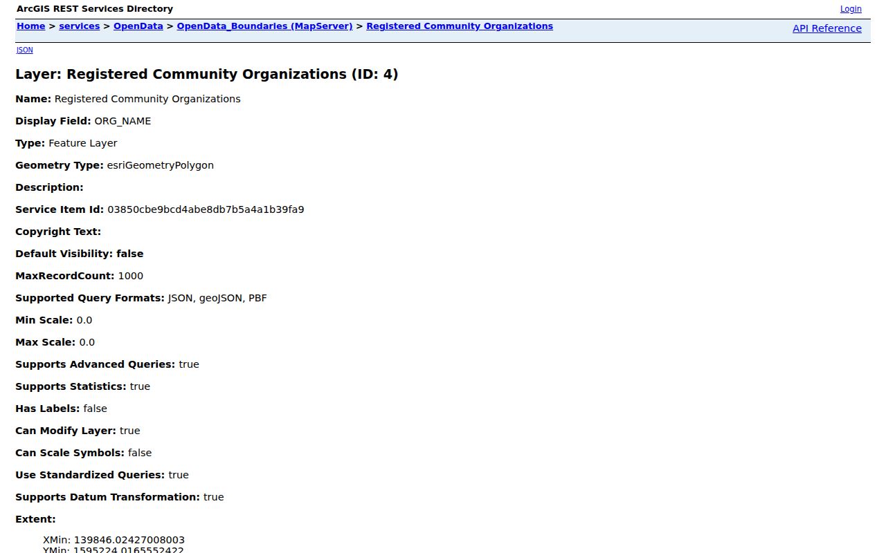
The official registered community organization layer contains more than a boundary shape. Its fields include organization code and name, north, south, east, and west boundary descriptions, type, active date, latest update, status, URL, meeting and newsletter details, public contact fields, township, and geometry. That makes it a strong community-directory source when the goal is to find the civic group around one address.
Open the community organization boundary layer to inspect its official field set and query capability.
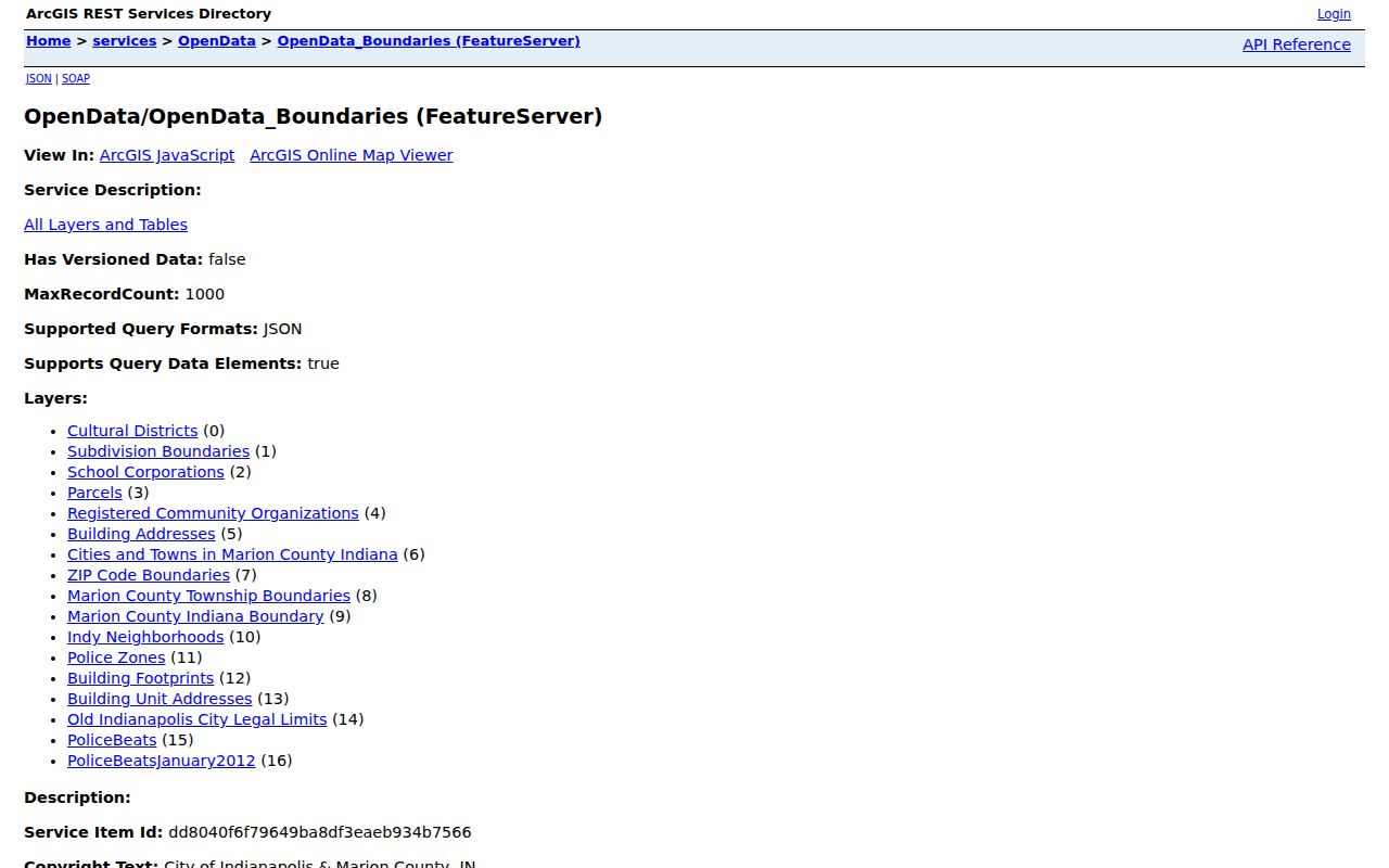
The wider Indianapolis open-data boundary catalog adds neighborhood, ZIP, town, and old city-limit context.
Groups Serving Indianapolis Neighbors
The city's current layer includes neighborhood associations, umbrella groups and block clubs, condominium or homeowner groups, business associations, public or quasi-public bodies, and groups such as crime watches. Use the organization app to verify status, active date, and current public route before relying on a name. A boundary does not disclose a member list.
Bates-Hendricks
An official-layer example of a named neighborhood association. Confirm its current boundary, status, URL, and meeting details in the city app.
Arden and Arlington Woods
Both appear as organization examples in the official layer. Their names show why the address query should precede any assumption about coverage.
Arsenal Heights
The layer includes association and civic-league naming. Read the exact current record to avoid merging distinct public groups.
Binford Area
Binford Redevelopment and Growth appears among the public examples. Use its organization-level link for civic contact.
Other official examples include Audubon Garden, Bosart-Brown, Bean Creek, and Ben Davis Village Alliance. They are examples, not a complete list and not proof that any named person belongs. The My Neighborhood app can search by address, neighborhood name, or map pin and then show generalized community resources.
Public Activity on an Indianapolis Block
Permits, land-use cases, right-of-way records, zoning matters, high-weeds or grass cases, and code enforcement can add public context to an address. The record means that city business was tied to a location. It does not prove that an applicant, owner, contractor, or case party is one of the current neighbors.
Search Accela Citizen Access by the exact legal street spelling. Record the case number, type, status, open date, and public link. If a portal result is missing, ask the responsible department for an identified existing record under the Indiana Access to Public Records Act. Do not ask the city to create a household list.
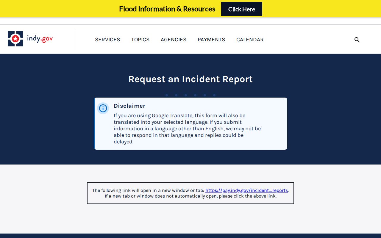
The official incident report request workflow is another address-specific route when a legitimate need concerns a particular public incident.
Indianapolis Neighbor Address Labels Differ
An assessor card separates the property situs from the owner's mailing address. The situs is the physical parcel being mapped. The mailing field is where assessment mail goes, and it can be outside Indianapolis. The card may also show a seven-digit local parcel number, an eighteen-digit state parcel number, property class, transfer history, tax district, legal description, and assessment fields. Keep those labels intact when comparing nearby parcels.
The difference is not theoretical. An official Marion County sample card shows an Indianapolis situs with a Shelbyville mailing address. That record supports ownership and mailing facts, but it does not establish occupancy at either place. Homestead and assessment fields can be useful clues, yet they still need corroboration before any statement about who your neighbors are.
Boundary labels also diverge. Indianapolis and Marion County have consolidated many services, while Beech Grove, Lawrence, Speedway, and Southport remain excluded municipalities. A postal city, ZIP polygon, neighborhood name, organization boundary, and legal municipality may overlap without matching. Confirm the parcel's legal context in GIS, and use USPS only for the current mailing city and ZIP.
Indianapolis Voter Files Are Not Rosters
Indiana voter-registration records have a public-file route through county procedures and the VRG-24 framework. A permitted file can include registration address and precinct data, subject to exclusions and use rules. The public status portal serves a voter's own election needs; it is not a casual name-by-address directory of everyone nearby.
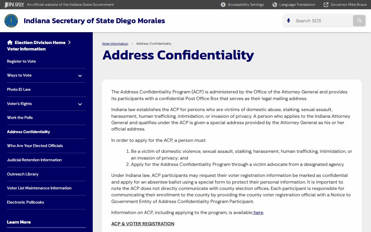
Protected data requires special care. Address Confidentiality Program participants use a substitute mailing address, and their actual residence is confidential under the program's rules. Other statutory restrictions can protect fields for certain public officials. Never infer a hidden location from a gap in a voter or property result.
Review Indiana's protected-address guidance before using voter material around a block.
Official Indianapolis Records Versus Tools
Official rolls and commercial neighbor tools serve different functions. Official sources identify their custodian, record type, fields, and date. Commercial services may merge old, licensed, and public data without making each link clear. Category results can lag, confuse people with similar names, or attach a mailing address to the wrong role.
| Approach | Strength | Limit |
|---|---|---|
| Official parcel, permit, and civic sources | Named custodian, defined field, direct correction route | No complete household list; each source answers one narrow question |
| Commercial neighbor category | May combine several clues quickly | Source dates and roles may be unclear; errors can spread across merged profiles |
| Library historical sources | Dated directories, newspapers, maps, and staff help | Coverage gaps, OCR errors, and in-person access can apply |
For Indianapolis neighbors, favor the smallest official fact needed. Confirm it at the custodian and do not convert unrelated public clues into a personal dossier.
Limits on Indianapolis Neighbor Records
Assessor, recorder, voter, court, permit, and organization data each use a different standard. None should be treated as proof of all people at an address. Utility and delivery records are not public neighbor sources. Private unit occupants, children, victims, sealed parties, and sensitive details should not be exposed. An organization form's public contact exists for civic business, not for compiling a personal directory.
Use labels such as nearby parcel, owner of record, registered organization, public case at address, or historical directory entry. Add the date and direct source. If an official record is wrong, contact its custodian with the record identifier and support for the correction.
Lawful use. Research Indianapolis neighbors for civic contact, reconnecting, property curiosity, or personal safety. Never use these records to watch, intimidate, expose, or harass anyone.
Note: A blank field may reflect privacy, timing, or coverage. It is not permission to guess who lives at an Indianapolis address.